Wednesday, June 14, 2006

June 2006

Sunday, June 11, 2006

HOLY CRAP THAT WAS HARD

HOLY CRAP THAT WAS HARD.

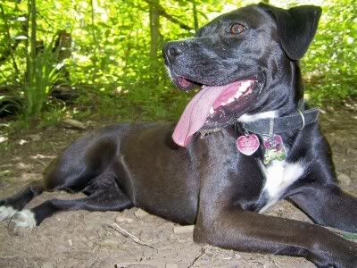
Well, any day in the woods is better than a day not in the woods but today… today was an exceptional day in the woods. Sophie and I started at Turkey Pen trailhead then S.Mills River-> Mullinax->Squirrel Gap->S. Mills River->Connector road to Buckhorn Gap trail->Black Mountain trail->Turkey Pen Gap trail all the way back to the trailhead. It was only 20 miles with 4500 feet of climbing but good lord… that wasn’t an easy 20 miles.

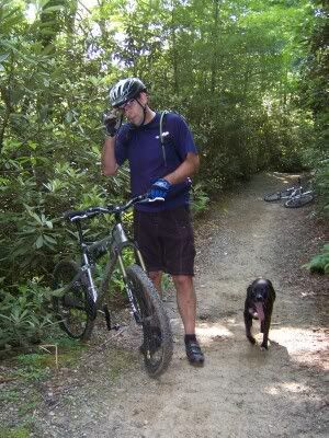
We started at 10:15 with a nice quick descent out of the parking lot, down to the river, and over the bridge onto S. Mills River trail. That trail is wide open with some pretty steep spots on the way to Mullinax. I was just getting into the groove, just warming up, climbing away and this guy flew over the lip of a whooptie up the trail, saw me and the dog, and tried to force the wheels back to the ground. He was not successful. He (I learned his name was Rick) crammed the front wheel into the ground and did an incredible superman over the bars right towards me. In a flash I saw the guy go over, his bike came hurtling right at me, he hit the ground, started to summersault down the trail, and his back wheel missed my head my inches. I had no time at all to react and was almost taken out right there. I instantly looked around and found Sophie unharmed and the guy ass over teakettle off the side of the trail. He got up, I franticly asked him if he was o.k., asked a bunch of other questions to make sure his head was still attached, and we parted ways. He had tweaked his back and toasted his front wheel but otherwise acted unharmed. That sure was exciting.
Photobucket - Video and Image Hosting

Look at the photo. My bike is laying right where I was when the wreck happened. He came over the lip right ahead of my bike. The marks on the ground right behind him are from where his bike came to a rest.

Next was Mullinax. Mullinax climbs and climbs and gets steep a few times and then climbs some more. There’s a big washed out section that I walked on but otherwise I was feeling really good and the dog seemed to be having a good time, too.

Mullinax connects to Squirrel Gap trail. Squirrel is classic Pisgah singletrack. Rhodo tunnels, bench cut, climbing galore, log crossings, roots, rocks… Squirrel has it all.
Photobucket - Video and Image Hosting

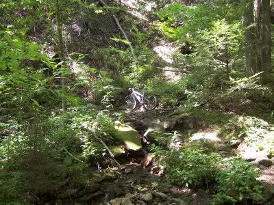
The trail goes THAT way!

I crossed paths with Litespeedchick and Litespeedchickshusband on the first section of Squirrel and for some reason didn’t take their photo. Doh! Their bikes are the coolest. Ti hardtails with a mix of new and vintage parts. You can see they just replace high-quality parts with high-quality parts as needed instead of being tempted to buy stuff just to buy stuff because it’s new.

Anyway, Squirrel Gap trail tops out at Laurel Mountain (the place, not the trail) then rolls up and down and twists and turns all over. There are sections that if you know how to ‘pump’ your bike you can go on and on without turning the pedals.

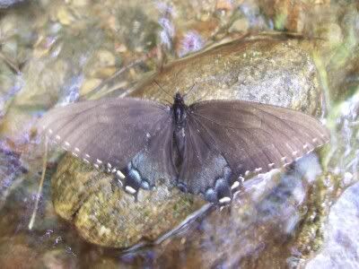
I stopped to filter water at Cantrell Creek. When I walked out I found a butterfly UNDERWATER. I reached in, grabbed it by the wings and set it on a rock. I set it aside so Sophie wouldn’t step on it and it flew away! That was really cool. I didn’t expect that at all.
Photobucket - Video and Image Hosting” />

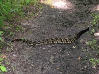
After Squirrel passes Horse Cove it instantly feels more remote and overgrown. The trail gets even more tight and tech than the miles before.The trail finally spits you out at the Wolf Ford. Cross the bridge and the climbing starts again in earnest. This is where I saw one guy with two horses. The last human contact of the ride. 2 miles or so of connector road then a few miles of Buckhorn Gap trail to Buckhorn Gap. Not much to say about that trail except Sophie was slowing down a bit and was grateful for the little stream crossings where she got a drink and cooled off a bit. Oh! Wait! I saw a rattlesnake!
Photobucket - Video and Image Hosting

That was the first time I had seen a rattler this close. I was cruising pretty fast and this guy was around a corner. I slammed on the brakes and nearly endo’d right on top of him. Luckily I had a leash for Sophie. I tied her up and walked her almost 10 feet around. I tied her to a tree, walked back around to get my bike and he coiled up. Crap. After about two minutes or so he just slithered away and I continued on.

Following that relatively gentle climb we started up Black Mountain trail towards Clawhammer Mountain. I really felt good at this point and tried a number of the switchbacks going up. Up the steep stuff, over Clawhammer Mountain and then up up up and over Black Mountain. The trail gets insanely steep heading towards the top of Black and my legs were starting to feel a little rubbery when off the bike hiking. At the top there is that perfect spot for a photo. How many times have I been here recently? I don’t remember but I have to stop and take a look every time.
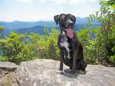
Photobucket - Video and Image Hosting

After the top the trail decends quite rapidly to Turkey Pen Gap trail. Sophie was looking a bit tired and we hadn’t taken a break for more than a minute or two all day. I tried to get her to eat but she would not. We rested for a good 10 minutes.
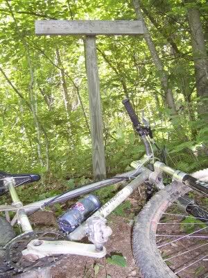
Photobucket - Video and Image Hosting

Kick-Ass Bike

Photobucket - Video and Image Hosting

Kick-Ass Dog.

Turkey Pen Gap trail is freakin’ hard. The first descent is unbelievably fast if you let it be. I kept in mind that I was probably not going to see anyone else all day and that at the other end of the trail was the end of the ride so I took it relatively easy. The climbs get very very steep and the descents are all equally so. There are five or six gaps to get through before the trail ends at the Jeep. I decided to stay on the bike and really push hard while climbing all the way to the end. I was told that if I kept up a ‘Heartbreaker in five hour’ pace that I should be able to pull off this ride in five hours. I really felt like I was taking it pretty easy most of the day so I was expecting to finish in close to six hours. To my suprise we pulled into the parking lot in 5:15. Sweet! What a great day in the woods. It was the first time I had ever done those trails in that route and it was Sophie’s biggest day in the woods yet.
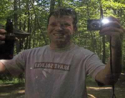
Photobucket - Video and Image Hosting

Cheers!

One last thing: I listened to Erinna’s mp3 player (in one ear) all day. The playlist, in order, was as follows…

1. Benevento-Russo Duo live (start to Laurel Mtn.)

2. Sonic Youth ~ Sonic Nurse (Laurel to past Cantrell)

3. Phish ~ Rift (Horse Ford to Buckhorn Gap)

4. Flaming Lips ~ Yoshimbe Battles the Pink Robots (Buckhorn to Turkey Pen)

5. Blackalicious ~ Broken Arrow (Turkey Pen back to the Jeep)

Posted by Eric Wever / Pisgah Productions at 01:15:26 | Permalink | Comments (3)

Friday, June 2, 2006

Road Ride? Whatcha’ talkin’ ’bout?

Erinna and I just got back from a fun fast early morning road ride. We started at a few minutes before 6 am. Our route was pretty easy to follow, Erinna’s two-hour ride: Clingman to downtown, Charlotte to Sunset, Sunset to Town Mountain via Old Toll. Town Mountain to the Parkway Southbound, past the Folk Art Center and to Biltmore Forest. Biltmore Forest to Biltmore to that road that turns into River Road to Amboy, State, Michigan, and back home! 2 hours, 5 minutes (I must slow her pace down by five minutes). Excellent ride on the Orange Multibeast with my sweetie. What a great way to start the day! 29 miles, 4500 feet of climbing, 2:05.

Here’s a shot of Erinna at the Town Mtn Road / Blue Ridge Parkway intersection:

Posted by Eric Wever / Pisgah Productions at 13:14:21 | Permalink | No Comments »


Sunday, May 14, 2006

May 2006

Tuesday, May 30, 2006

Extended Backside May 29th.

Sarah Camye, and I went on a fast torture-fest yesterday. Well, at least it was torture for me. I don’t have all the road numbers right now but… We started at Glouscester Gap and climbed to Farlow Gap. Sarah was on FIRE and took off like a bat out of hell. Camye and I held back and had a nice steady climb together. That road is tough. At the bottom I mentioned that it’s the only gravel road around that I worry about being able to keep it in middle ring to climb. I gave it a valient effort but dropped into granny after only a mile or so. We got to the gate at the top of the road (not the top of the climb) and Sarah and Camye did some yoga to prepare to kick my ass:

The climb continues past the gate and goes on for about another mile on old logging road cut. After the first very rocky descent we were at Farlow Gap. We took the left (straight?) option and headed around to what we call ‘the backside of Farlow’. That old road is rocky rocky rocky and super fast if you’re on. We stopped at the one option, to head down to Courthouse Falls and Summy Cove trail or to stay on the backside, and decided to go for the extended route. We took a right and bombed down the stinging nettle road. That was a ton of fun. I knew there were no black holes of doom or anything like that around the corners so I put it into big ring and really let loose. The trail crosses a creek:

but otherwise is just a super fast eroded double track that’s overgrown into singletrack.
That road really goes on and on for quite a while and finally drops into Courthouse Falls Road. We had to pull out the map
once on the way down because of an unmarked road that merges in about 2/3 of the way down. A left then a quick right laterand we were at Summey Cove. A few yards into summey is the trail down to courthouse falls. We stopped there a took in the beauty
of it all.

I’ll have to go there agin on the hottest day of the year. What a perfect place for a swim.

Anyway, next was about a mile of gently rolling Summey. Cross a little log bridge though, and the steepest climb of the day
laid ahead. Waterbar after waterbar up up up. It’s like the top of Black Mountain Trail or some of the steepest sections of Turkey Pen.
As we approached the top a thunderstorm was coming in. I started to pick up my hiking pace, even though it really made me suffer, because
I wanted to get over the ridge before the storm got to us. There waas a LOT of lightning. I’m usually not phased by lightning
but as I saw the ridge up ahead I knew I wanted to be on the other side when the storm arrived. We did make it. The backside of the ridge
is just as steep as the other side so riding down involved many moves that felt a lot like sking. I ruddered a few times, too.
(one foot dragging behind, toes pointed into the ground, acting like a ‘rudder’). As all steep descents go, it was over in no time.
Here’s Camye at the bottom:

Next was a section of 215, Left onto Courthouse Falls Road again, Right onto unmarked road number something, and the next big
climb. That’s where the storm caught us and my weekend warrior riding caught me. I slowed way down on that climb. My legs felt
fine but my stomach didn’t. The rain felt really nice and I just kept moving forward. I even got off and walked once! Yikes!
The rain was really coming down and the thunder and lightning was right on top of us all the way to the top of that climb.
We stopped for a moment at the top and I took the lead for the final descent. Well,It’s never ‘all downhill from here’ in
Pisgah, but I was able to use momentum to get up the rollers. The combonation of the rain and the true final killer downhill got
my spirits up and I big ringed all the way. Here I am at the end with a psycho smile

Back to the Jeep in 3 hours flat. 16 miles, 6400 feet of climbing

oh, one pretty flower photo taken at the ridge on Summey. Yes, even when running from lightning I’ll stop and take pictures of pretty things:

Posted by Eric Wever / Pisgah Productions at 11:33:03 | Permalink | Comments (1) »

Monday, May 29, 2006

BURN 24 Hour Race

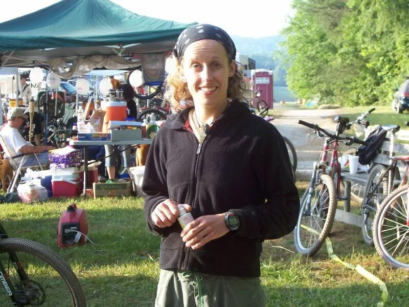
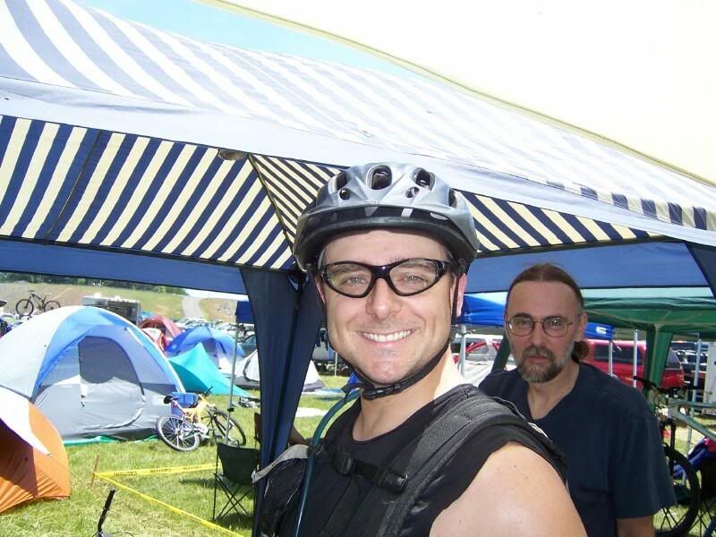
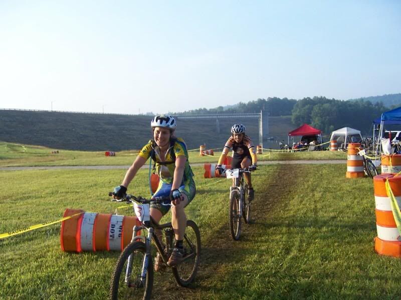
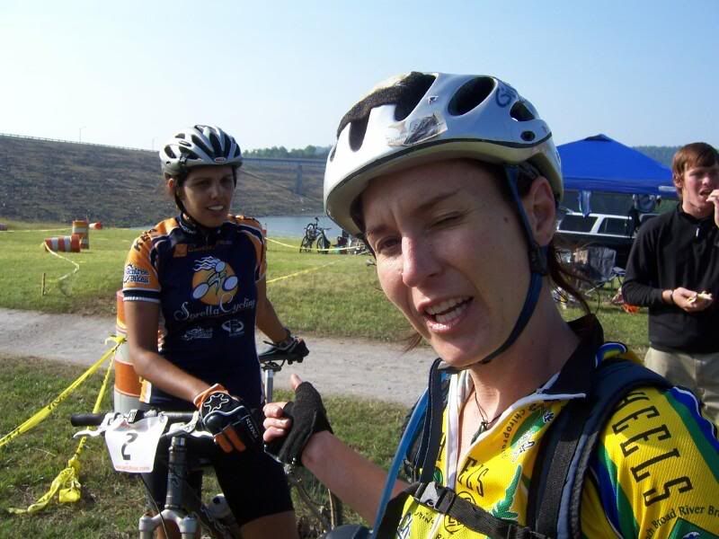
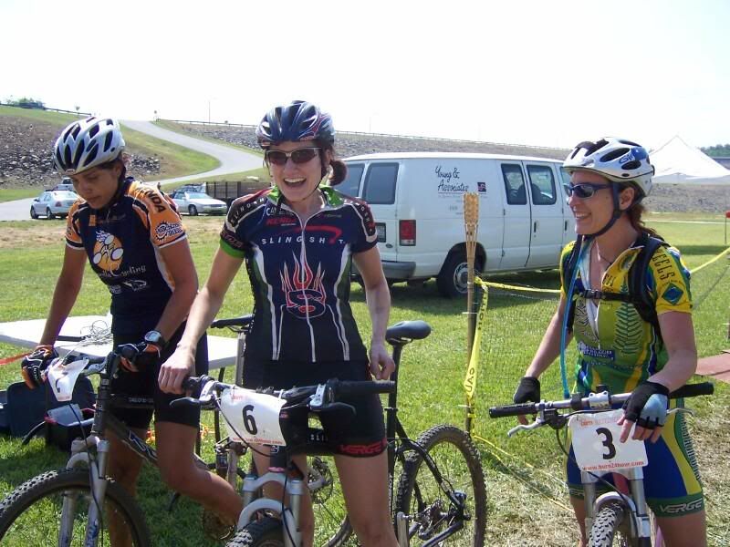
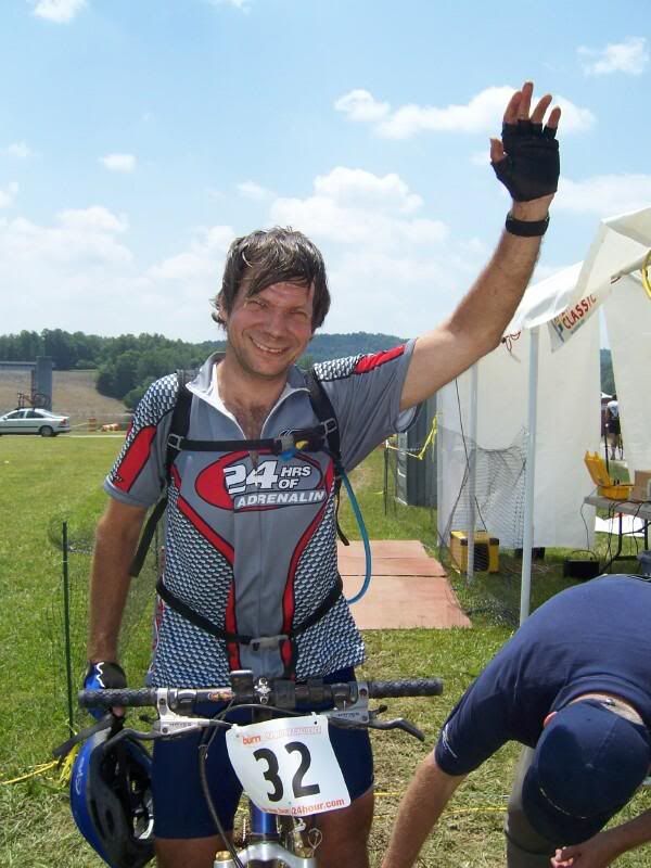
O.k., I did not race so why am I blogging this? Because it was FUN! (and I want to try out this new photo hosting site)

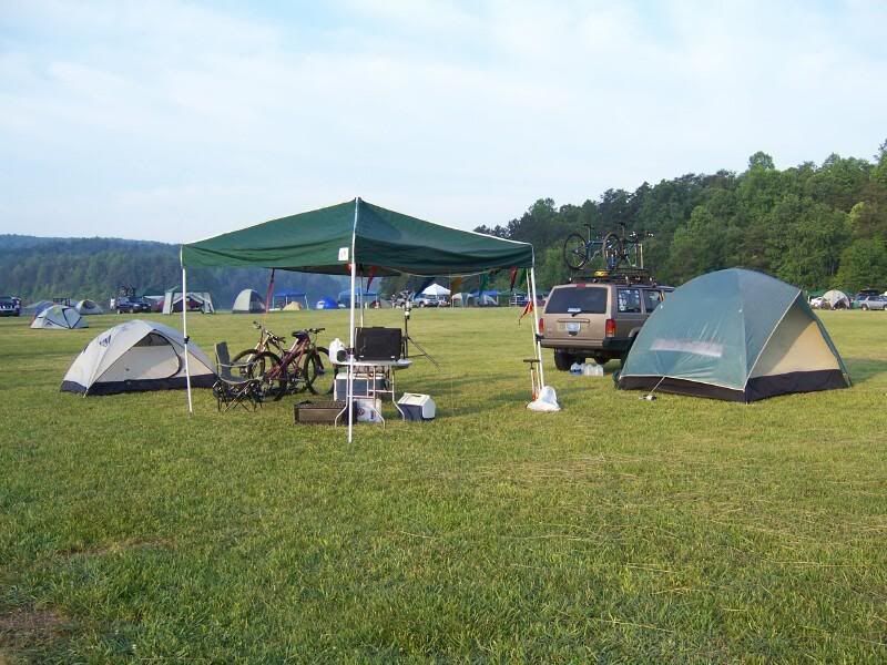
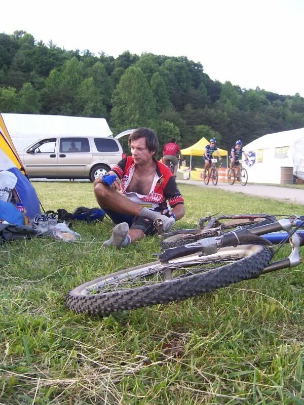
Here’s base camp before the race start:

Photobucket - Video and Image Hosting” />

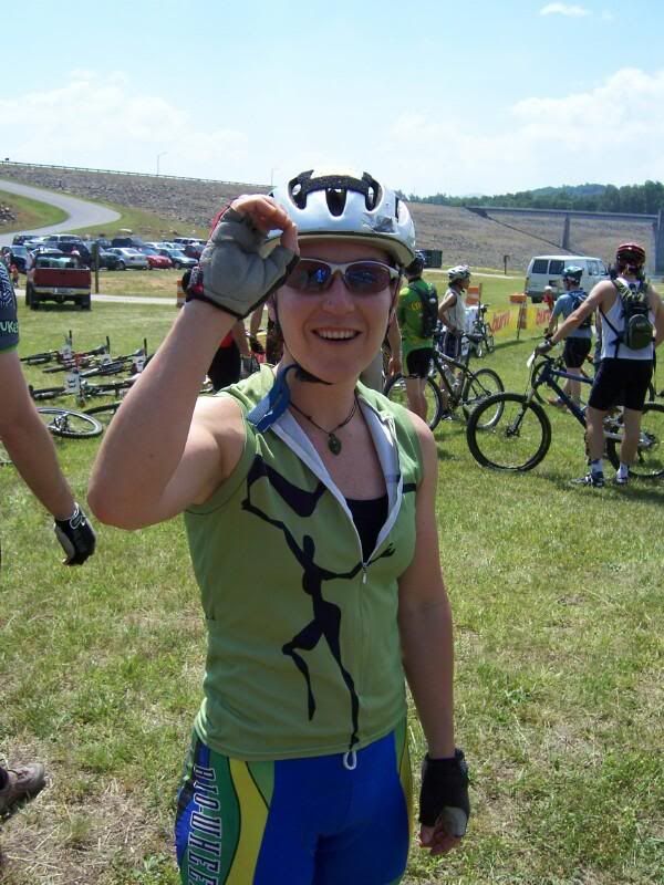
How many laps have you done Erinna?

Photobucket - Video and Image Hosting” />

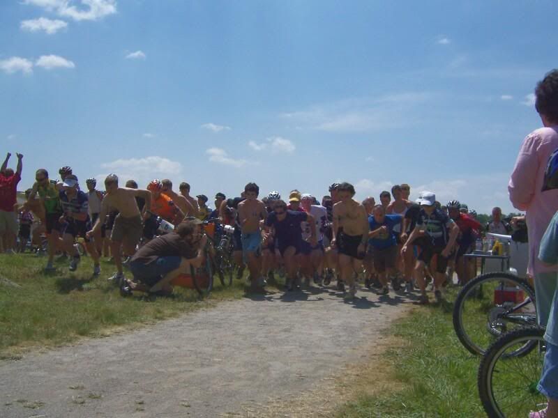
The start:

Photobucket - Video and Image Hosting” />

Peter:
Photobucket - Video and Image Hosting” />

Lap 5:

Photobucket - Video and Image Hosting” />

Lot’s of friends were there. Rebecca:

Photobucket - Video and Image Hosting” />

Teamdicky:

Photobucket - Video and Image Hosting” />

Sarah:

Photobucket - Video and Image Hosting” />

and Clint and Chris:

Photobucket - Video and Image Hosting” />

just to name a few. There was a great race going on, here are a few more photos from the day

Lap 10 for Erinna:

Photobucket - Video and Image Hosting” />

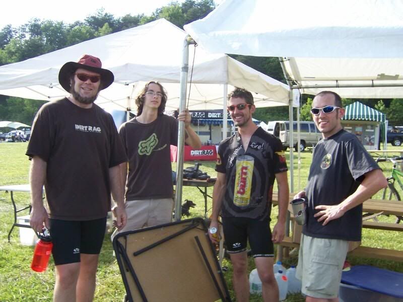
Maurice from DirtRag, Drew Dillon, Ed Odea, and Teamdicky:

Photobucket - Video and Image Hosting” />

Peter set up his solo camp next to us. Here he’s dealing with his hurting feet:

Photobucket - Video and Image Hosting” />

and late at night:

Photobucket - Video and Image Hosting” />

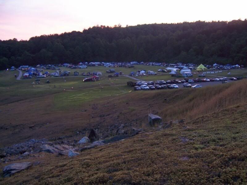
Oh, here’s a shot of sunset over the race:

Photobucket - Video and Image Hosting” />

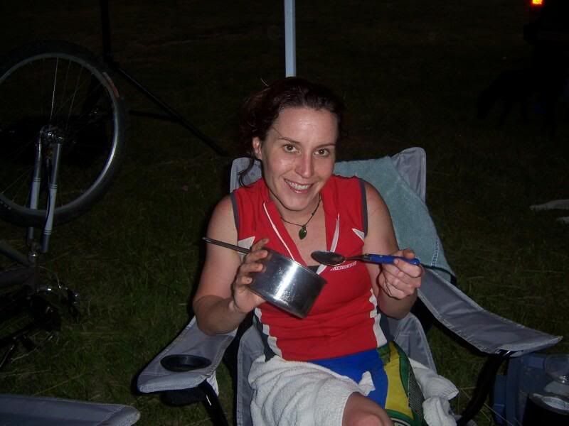
Yummy soup for Erinna after 9 hours of racing:

Photobucket - Video and Image Hosting” />

Erinna and Namrita, both solo, started to ride together after 6am.:

Photobucket - Video and Image Hosting” />

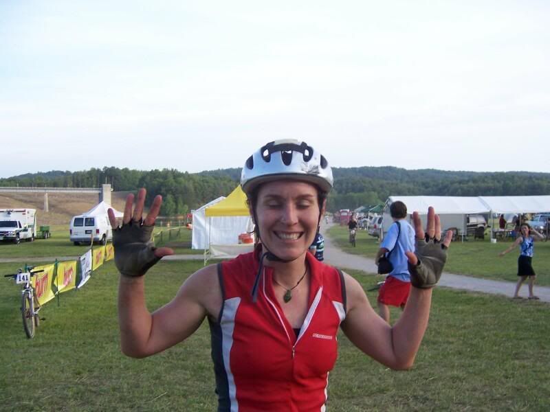
Erinna says ‘Whatta ya mean we need to do another lap?’

Photobucket - Video and Image Hosting” />

In the end Erinna get 4th with 18 laps, Namrita got 5th with 17 laps, and this girl got first (Sorry! I need to look up her name!) with an astonishing 28 laps. Great Job!

Photobucket - Video and Image Hosting” />

and Peter got 10th!!

Photobucket - Video and Image Hosting” />

Posted by Eric Wever / Pisgah Productions at 13:42:30 | Permalink | No Comments »

Monday, May 22, 2006

Saturday May 20th HEARTBREAKER!!!

We had an incredible ride on Saturday. Ian, Sarah, Dicky, Josh, and I rode Heartbreak Ridge.

The night before got late quick and I reminded Ian of our 7:40 a.m. departure time a few times. Sarah and I arrived 10 minutes late without Ian but he got there very quickly afterwards. The word of the day quickly became ‘Poop’. More about that later, maybe. We started at the bottom of Kitsuma and had a pretty good pace going up old route 70. Old 70 is a three or four mile broken pavement warmup. I bet that road was abandoned in the 70’s sometime. It’ll take quite a while for mother nature to cover it totally but she’s doing a good and steady job and turning that road into a trail. There’s one great overlook there on the way up:

After Old 70 we climbed through Ridgecrest, got harrassed by some construction workers, and Ian stealthily used their loo. He met us at the ballfields and seemed to be doing much better:

Next was Rattlesnake. That ahem… trail… is the best example of an unsustainable unplaned bulldozed overused ultrasteep cut through the woods that somehow stays intact that I could ever imagine using and not feeling bad about it. Ratlesnake climbs and climbs. Here’s Sarah finally getting off and walking (right in front of the camera of course) and Ian chasing.

Once we got to the top it was Old Toll next. That place is very cool. The road climbs for an eternity and changes texture every 100 yards or so. Sometimes it’s a buff fireroad, sometimes it’s a baby head infested hell climb. Somewhere inbetween there is solid rock that resembles pave’, two year-round dwellings that are umm, rather primative, and another great overlook in Pisgah. Here’s a shot of Dicky and Josh enjoying the view at 2/3 of the way to the top:

I ate a mean veggie burger, turkey, and provolone sandwich with horseradish, mustard, and mayo at this point and for some reason couldn’t find my groove again for a while. Rich and Sarah took off like the demons they are and I wallowed behind in my full-bellyness. The last 1/3 of the climb is absolutely brutal. If you have been having a bad time at this point, the next bit is going to be pure hell. If you’re on, however, it’d baaaaad as shite. You can see the sky getting lower and lower which means you must be near the top but as you round each corner, the thing that you’d never expext to WANT to see in the woods, a bunch of rickity old trailers, never appears. If you’re feeling good, it’s just more awesome climbing on loose rock and stream beds with unbelievable views. If you’re not feeling it, well, it can get pretty lonely at the back of the group. When we got to the top we saw something that was a first for me: PEOPLE AT THE RICKITY TRAILERS. Holy Crap! This place has held this mystical ideal in my mind as a Erik Roudolph hideout for years and what do we find? A freakin party!:

Well, I wouldn’t really call it a party. Anyway, RIGHT HERE we were at the start of the reason for all the torture, the best descent in Pisgah, only compared in my mind to ripping down Porcupine Rim in Moab, Heartbreak Ridge. I led for the first bit but was feeling uncomfortable with how fast Ian was bearing down. I got out of his way and we hammered down that thing like a duo downhill team. It was awesome. The trail is sidehill benchcut with zero room for error. Ian and I were ON. Here’s Ian lookin’ pretty happy as we wait for the others:

The descent is the reason to do this ride. After that photo we just railed, so, no other action shots. We made it to the church in one piece, Ian, Sarah, and I pacelined back on the 3 miles of real pavement back to the car, and we were done in 5 hours flat.

It was a great day for ’smelling the roses’ too. This guy says: Eat me and your stomach will be upset… or maybe you will see God.

Tulip Polplar. A tree with flowers. I love this place.

You may be asking yourself ‘What was Erinna doing on a beautiful day like that?’ Well she was racin’ at the 12 hours of Tsali. She did her part to help the BioWheels women’s team clinch the win! Go Erinna! Here’s the BioWrite-Up: http://biowheels.com/Home/Article.asp?PostID=1107

and here’s the big-ass trophey that went to French Broad Brewery for their help:

Posted by Eric Wever / Pisgah Productions at 22:14:36 | Permalink | No Comments »

Mon. May 15th Clawhammer-> Black Mountain

Did a great ride with Wode last Monday afternoon. We started at the Black Mountain Trailhead, took the road to the ranger station, dropped off PMBAR related stuff to Wade, then proceded to FS477 and Clawhammer road.

Clawhammer is never easy. We did have a pretty fast climb though. I was feeling good and kept the pace up the entire way.

Here’s the profile:

Here’s a pic of Wode H A M M E R I N G clawhammer road:

Here’s another shot from the top of the hill. Yes, I staged this photo but Wode had no idea

We then took a right onto Black Mountain trail. Going that direction we had two mountains, Clawhammer and Black to climb over. There are a bunch of really steep switchbacks heading to Clawhammer mountain. My shifting had been acting up all day and I finally figured out why:

The Pivot pin was working it’s way out. After some time I figured out a fix: An old cheapo key chain streatched out, inserted into the pin hole, wrapped around the derailleur body. It worked like a charm and we were able to continue

The climb was hellish but I still had time for fun photos. Here I am crushing Wode like a little bug:

It was a beautiful day and a rare Monday afternoon non-Bent-Creek ride. The overlook was beautiful:

The descent down Black Mountain was super fast. I was on my rigid fork witht the PC cracks so I didn’t hit any of the jumps or anything. Still lots of fast fast fast descending. We really pushed the light and ended the ride at 8:40 p.m.

Two more quick photos, one of the fork with the powder coat (I hope) cracks:

And pretty flowers at the start:

Posted by Eric Wever / Pisgah Productions at 11:34:43 | Permalink | Black Mountain">No Comments »

Friday, May 12, 2006

Bent Creek -> Trace Ridge

Super fun ride today with Erinna. We started at the Campground Connector trail at Bent Creek then rode up to the Blue Ridge Parkway on FS 479. 479 was painful and it was tough mentally to get a groove going. Later than expected we made it to the top and hopped on the parkway. It was an absolutely beautiful day. We sure are blessed being able to live here. The view was outstanding:

We headed up the Parkway to Trace Ridge. Down Trace to the site of the PMBAR Trace checkpoint

then onward to the super fast ultra fun classic pisgah descent… The reason I put the CP there… Trace Ridge

After Trace it was the long climb back up to the Parkway, through the Bent Creek Gap tunnel, back down 479(YeeHaw!), and left onto Cardiac, Lower Sidehill. Short yet steep climb then the next killer descent back into Bent Creek. A left and a right later we arrived at the car and ran into Tara, aka M-U-M, aka Lwac, for short heading out an a ‘water-bottle’ ride

Thanks to Tara and Rick for manning the SORBA sponsored Davidson River CP!

Great ride today. One of those rare weekday moring type. Excellent.

15.5 miles ~ 4100 feet of climbing ~ 2.5 hours

Posted by Eric Wever / Pisgah Productions at 23:34:28 | Permalink | Trace Ridge">No Comments »

2 shorties

Tuesday May 8?th, drove out to 477 rode 477->Club Gap->Buckwheat to pick up a PMBAR checkpoint. Short yet brutal ride with Sophie the wonderdog.

Thursday May 11 Greenslick with Erinna. Beat the sunset. Erinna says ‘Gears are good!’ and we had a great ride.

Post Ride shot of me REALLY enjoying some combos:

Posted by Eric Wever / Pisgah Productions at 14:40:57 | Permalink | No Comments »

Thursday, May 4, 2006

I have NOT been on my bike enough!

Well, Since my last post I’ve only ridden once. Erinna competed in the Baker’s Dozen and I supported, so that knocked out one weekend. The PMBAR is in two days so this week has been filled with race stuff. Erinna and I did get out for a nice ride with Sophie on Sunday past though:

We started at Yellow Gap-> Laurel Mountain trail. We talked a bit about ride descriptions and ‘the book’. ‘The Editor’ gave me my first deadline so I was looking at the trail a bit more critically this time. We started at a great pace and I ven cleared a couple of the lower obsticles. Sophie was doing great. Erinna wasn’t having the best day on the bike. We stopped at the meeting log for a breather but continued on pretty quickly. We payed particular attention to the Gaps, I mean, which one we were in. When we got to the cairns we stopped and built a few new ones and deided to head on down at theat point. I had a blast going down. There werea few moments wher I was completely out of control… Sking rather than riding the bike down the hill. I was a little hot coming into the nastyest section but made it through unscathed. We crossed the creek at the bottom and went over to Slate Rock. The view was incredible! The top of the mountains are still brown like winter but the valleys are green green green. The ride off the rock went by very quickly then we had a couple of miles of gravel to get back to the car. That climb out of Bradley is always a killer and that day was no exception. Back to the car pretty quickly. Great ride, the only one in two weeks!

Posted by Eric Wever / Pisgah Productions at 11:12:47 | Permalink | No Comments »